Revision as of 15:49, 6 March 2017 by NewArchives>Goodbyemisery (Created page with "Maps of locations featured on ''Friends at the Table''.")
Maps of locations featured on Friends at the Table.
Media in category "Maps"
The following 91 files are in this category, out of 91 total.
- Auspice.png 135 × 93; 17 KB
- Barranca loop icon.png 489 × 1,581; 1.4 MB
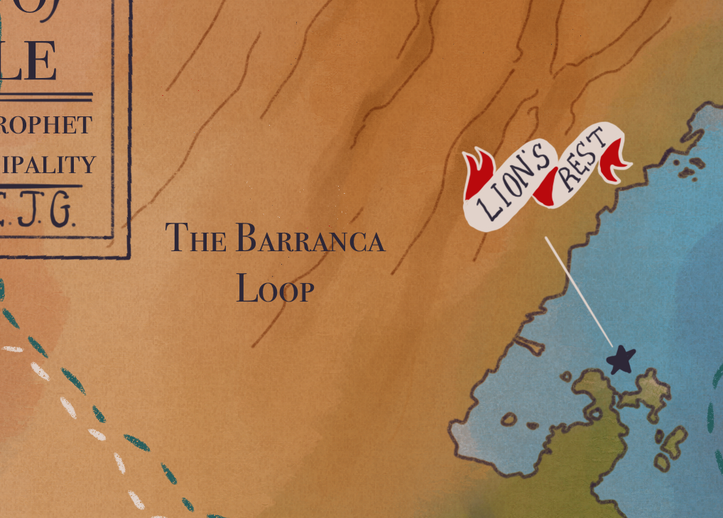
- Barranca loop.png 1,018 × 730; 1.2 MB
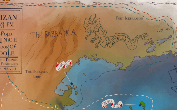
- Barranca.png 614 × 382; 384 KB
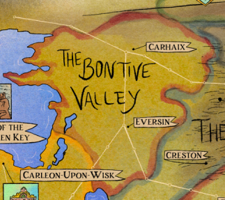
- Bontive Valley on map of Palisade.png 323 × 287; 192 KB
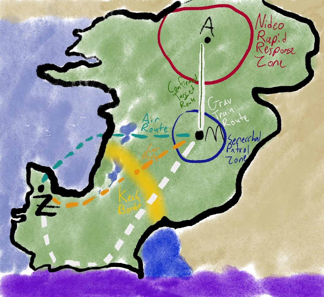
- Canvas sortie map1.jpg 1,058 × 970; 613 KB
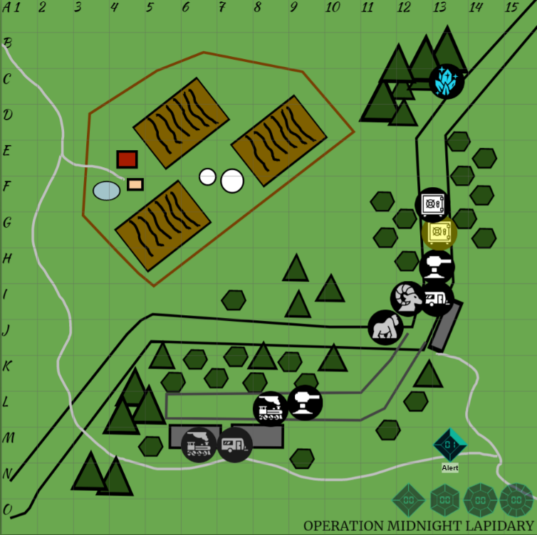
- Canvas sortie map2.png 754 × 752; 250 KB
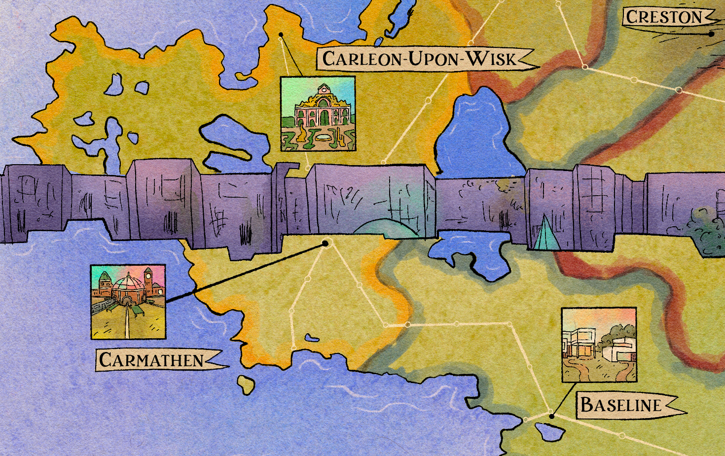
- Carmathen.png 1,470 × 925; 3.55 MB
- Chasmata Quarry.png 960 × 311; 509 KB
- Chorus island.png 606 × 305; 341 KB
- City City on map of Palisade.png 282 × 160; 93 KB
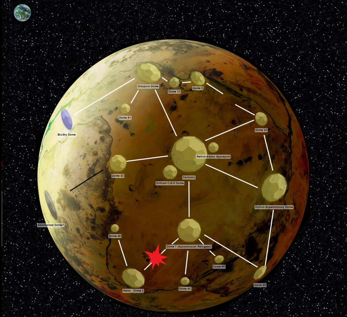
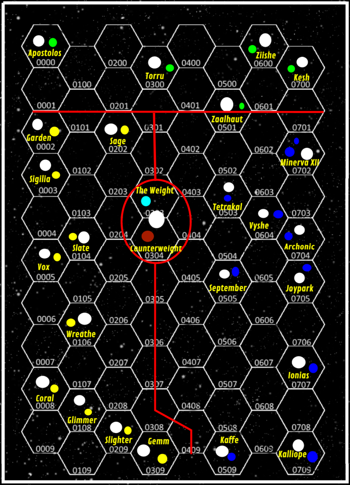
- Counterweight.png 1,169 × 1,067; 1.67 MB
- Crown of Glass on map of Palisade.png 215 × 186; 81 KB
- Cruciat icon.png 805 × 444; 679 KB
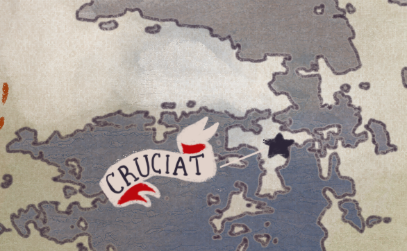
- Cruciat.png 586 × 362; 422 KB
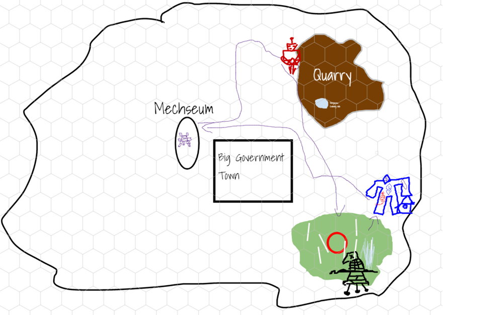
- Echo map.png 1,000 × 627; 224 KB
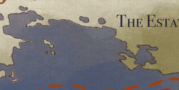
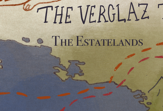
- Estatelands.png 687 × 466; 581 KB
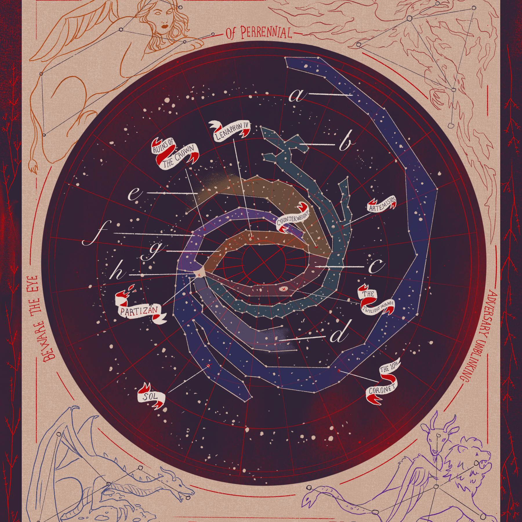
- Galaxy map square-small.png 1,800 × 1,800; 4.75 MB
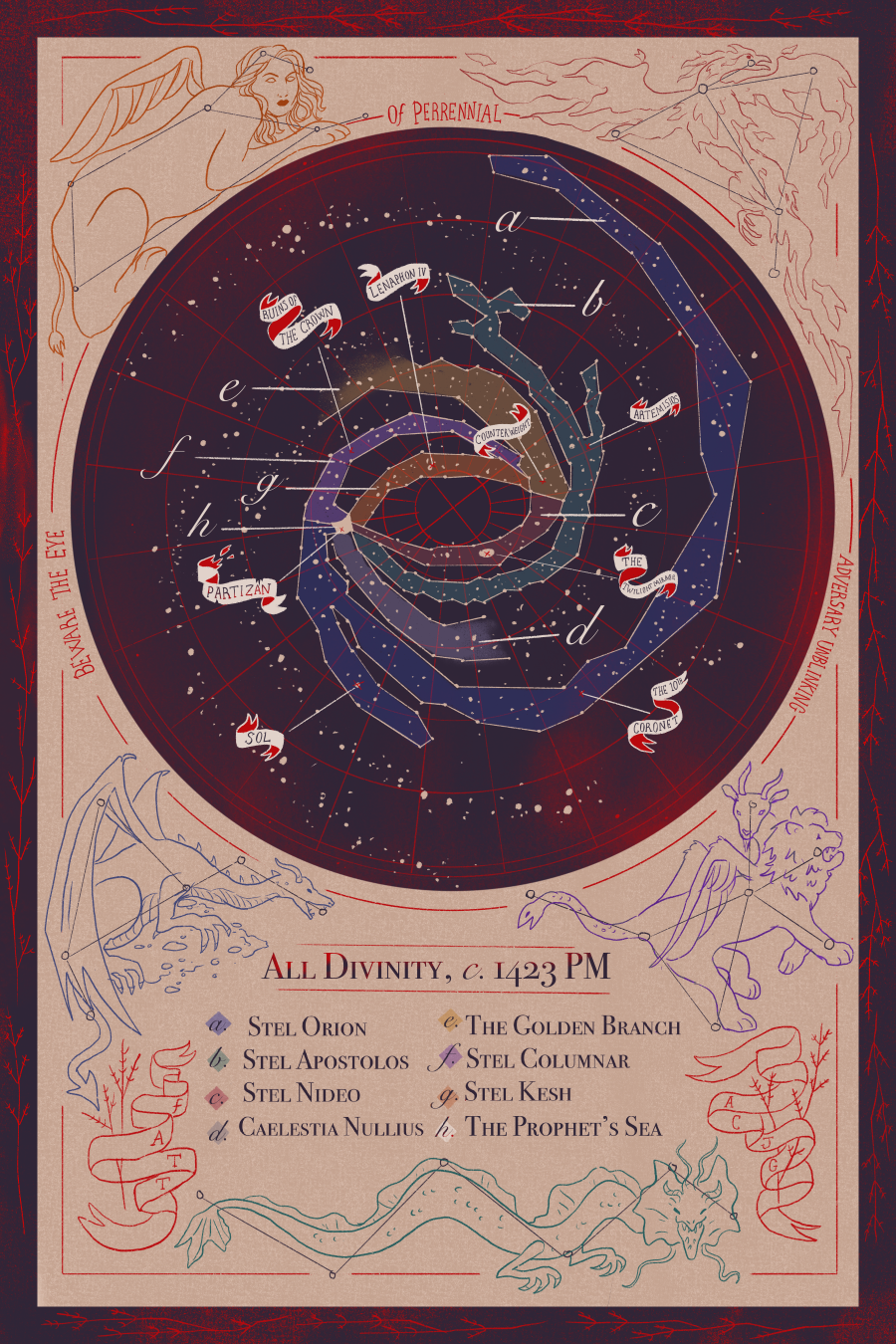
- Galaxy map-small.png 900 × 1,350; 1.96 MB
- Golden branch crop.png 1,167 × 1,620; 984 KB
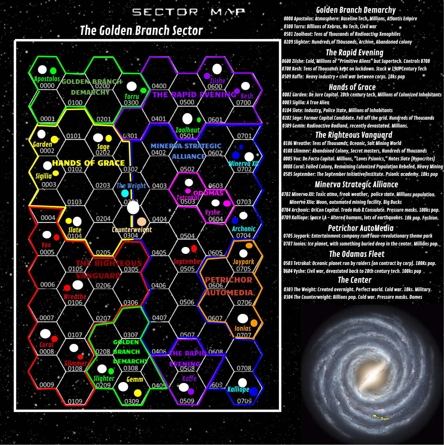
- Golden Branch faction map.png 1,525 × 1,528; 1.49 MB
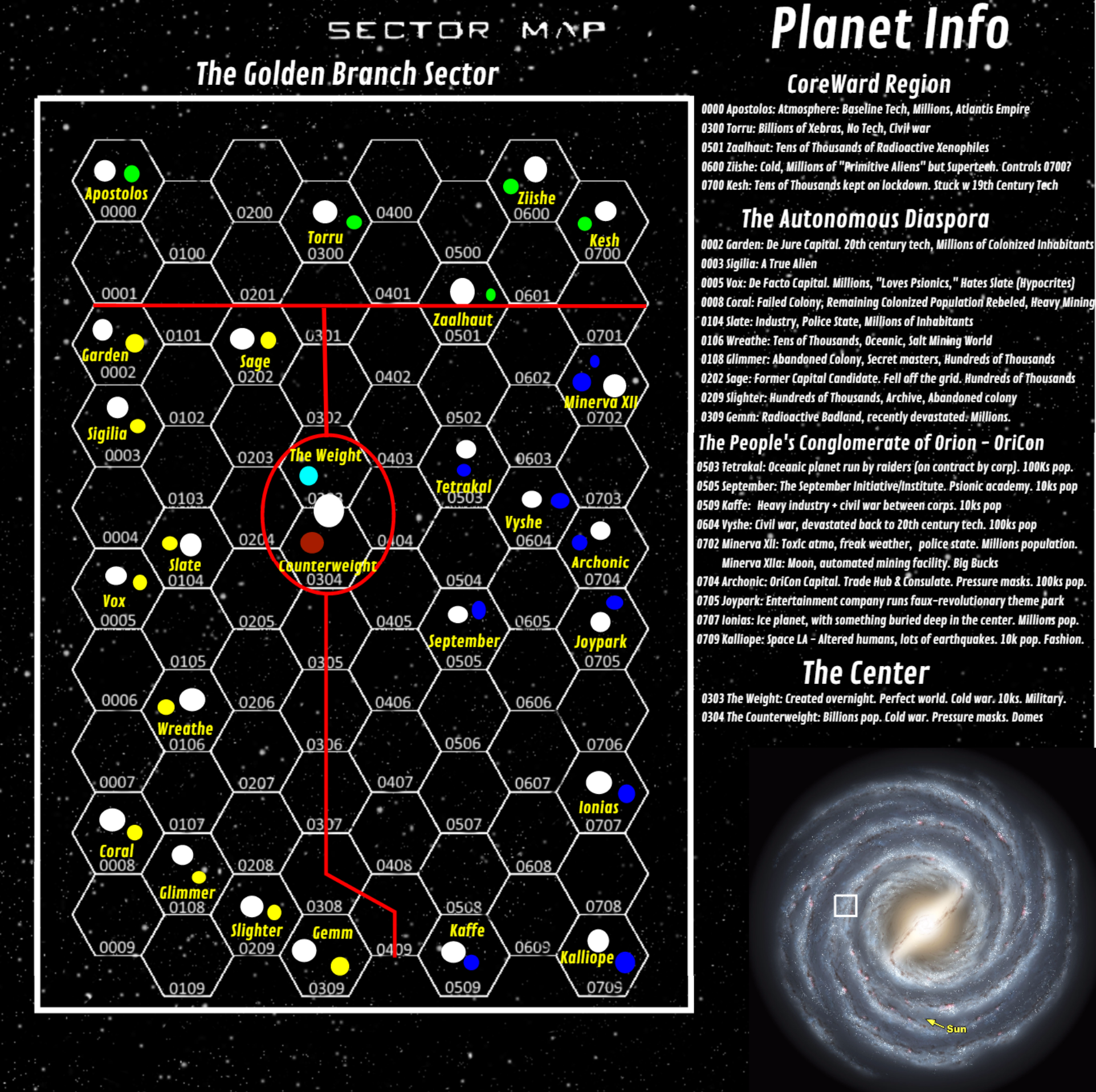
- GoldenBranchFullMap.png 1,923 × 1,916; 2.22 MB
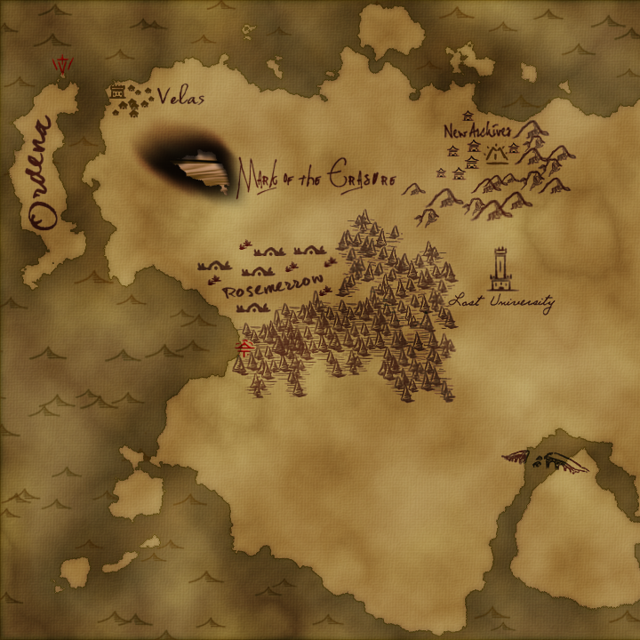
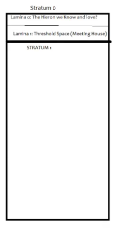
- Hieron map square.png 720 × 720; 857 KB
- Isle of the Broken Key on map of Palisade.png 314 × 189; 124 KB
- Lake timea.png 596 × 312; 320 KB
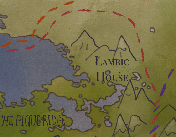
- Lambic house.png 738 × 574; 754 KB
- Lion's rest icon.png 949 × 517; 934 KB
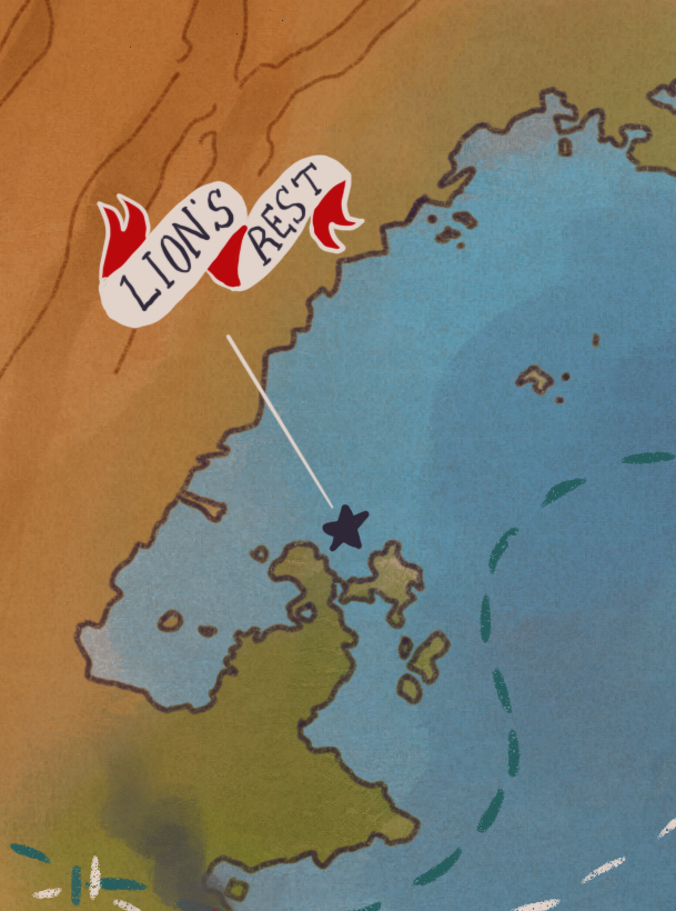
- Lions rest.png 609 × 820; 862 KB
- Low slate west.png 2,846 × 1,043; 4.71 MB
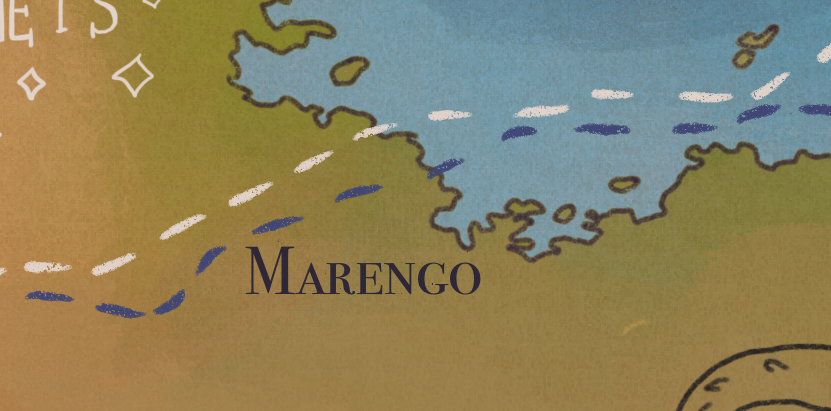
- Marengo.png 831 × 411; 571 KB
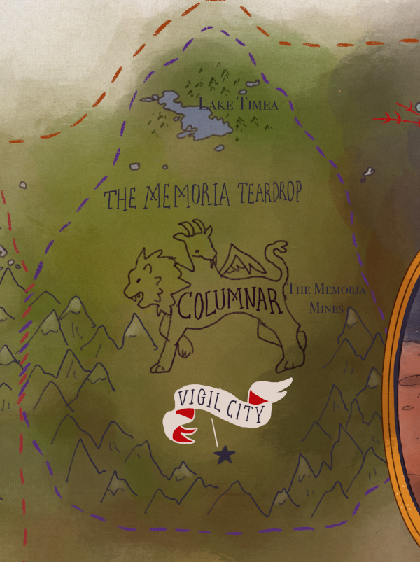
- Memoria teardrop.png 600 × 803; 758 KB
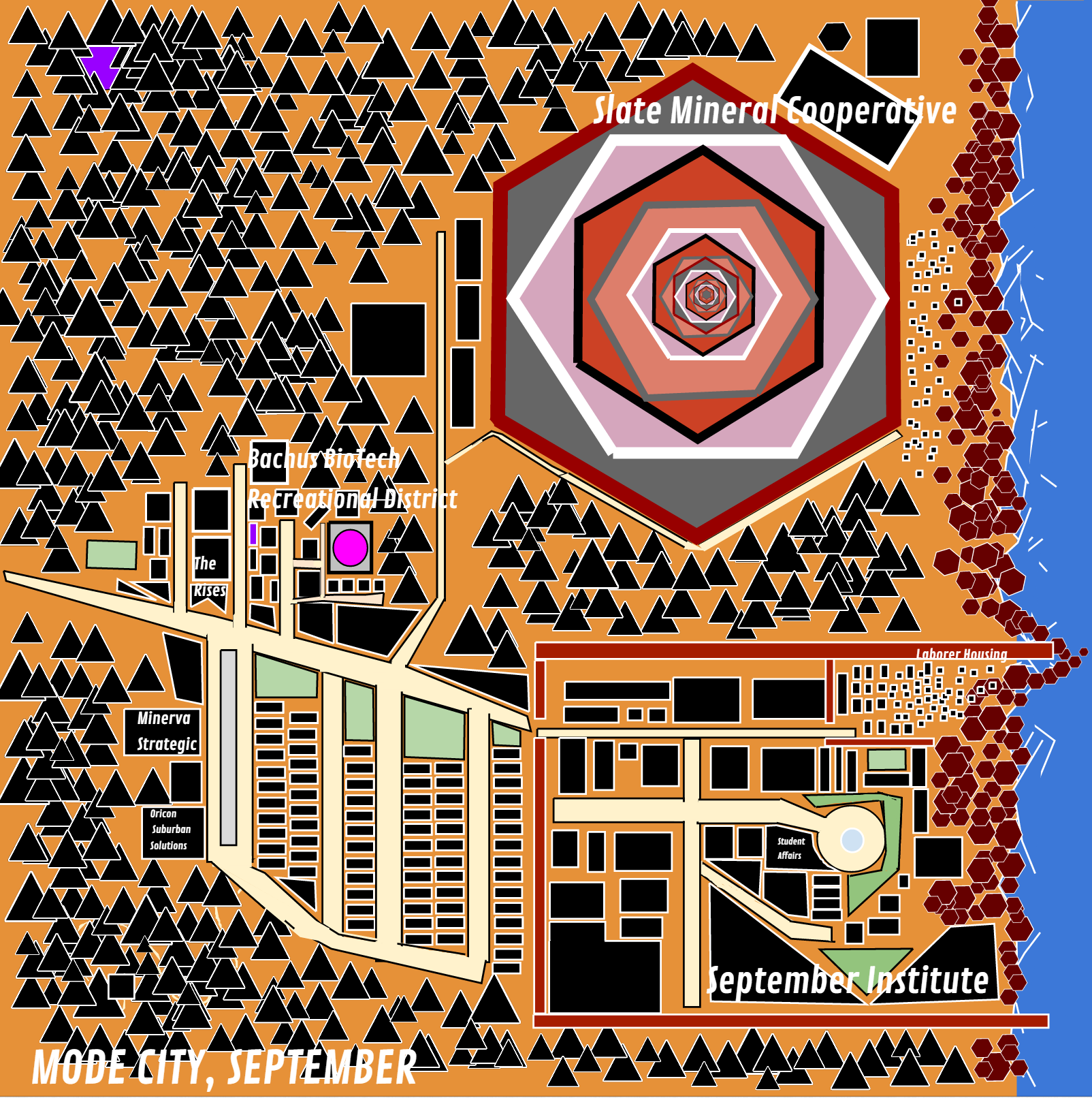
- Mode City September map.png 1,604 × 1,612; 663 KB
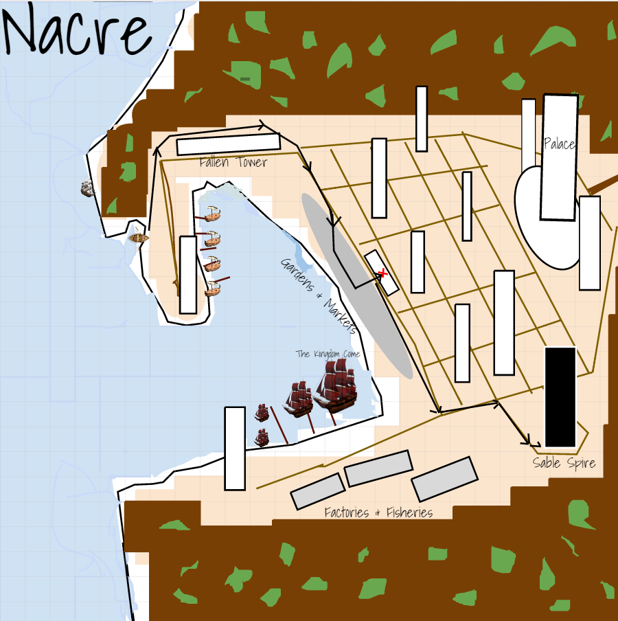
- Nacre.png 900 × 904; 173 KB
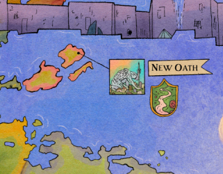
- New Oath on map of Palisade.png 321 × 250; 163 KB
- Obelle.png 505 × 314; 275 KB
- Old old.png 1,281 × 490; 1.1 MB
- Oxbridge icon.png 837 × 444; 718 KB
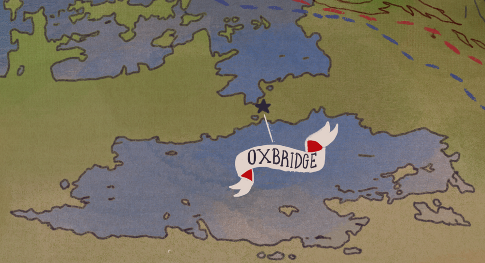
- Oxbridge.png 1,000 × 543; 925 KB
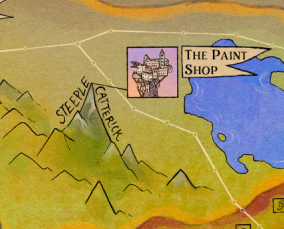
- Paint Shop on map of Palisade.png 284 × 229; 131 KB
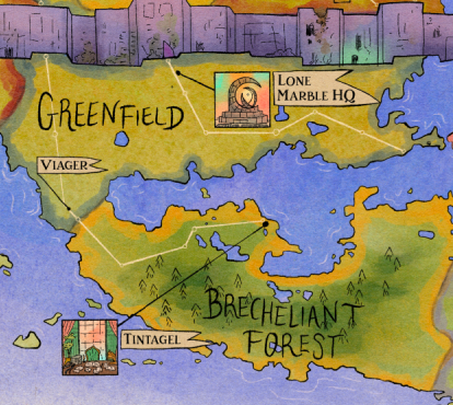
- Palisade map cropped Greenfield Brecheliant Forest.png 414 × 370; 381 KB
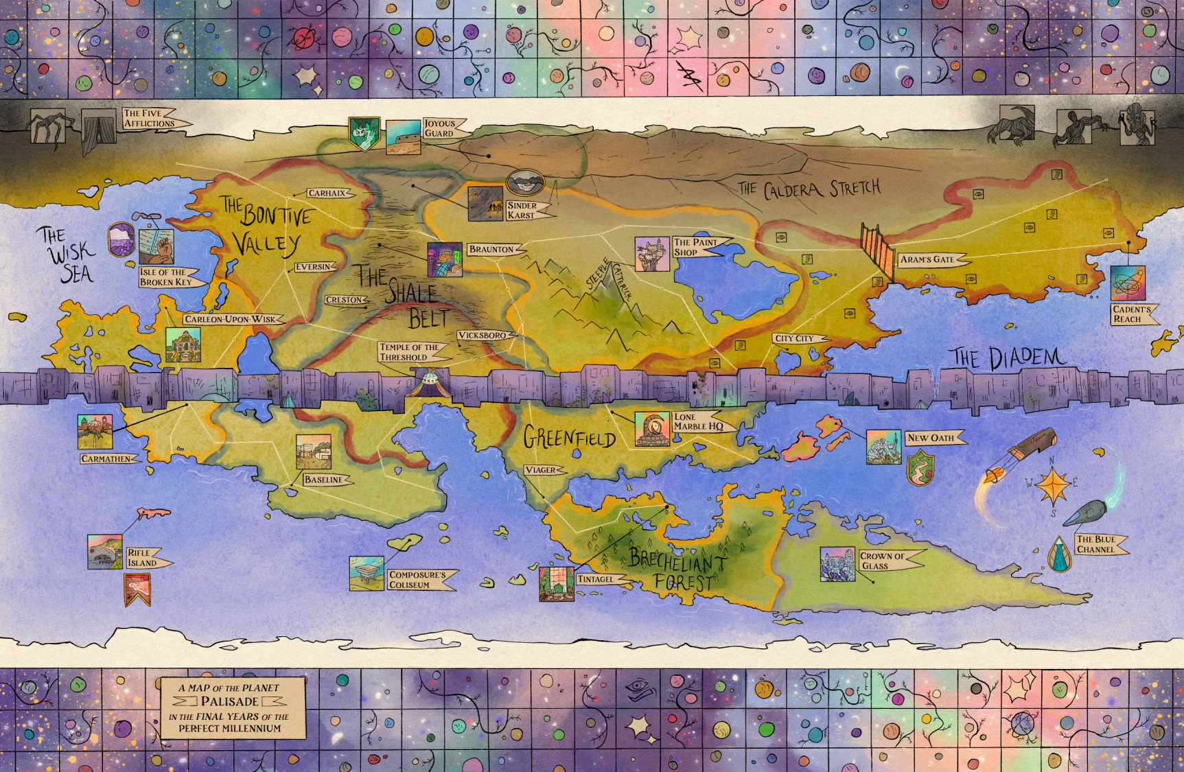
- Palisade map-small.png 1,725 × 1,125; 4.94 MB
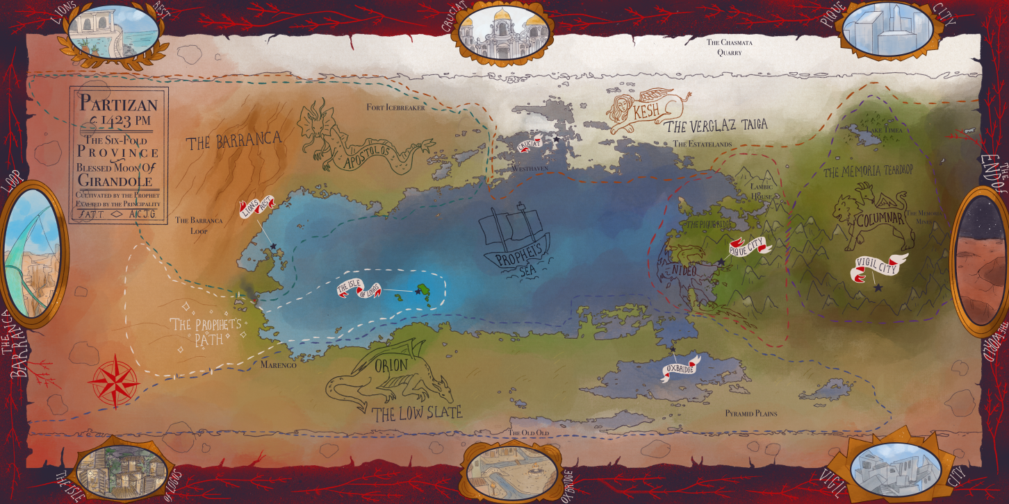
- Partizan map-small.png 1,452 × 726; 1.77 MB
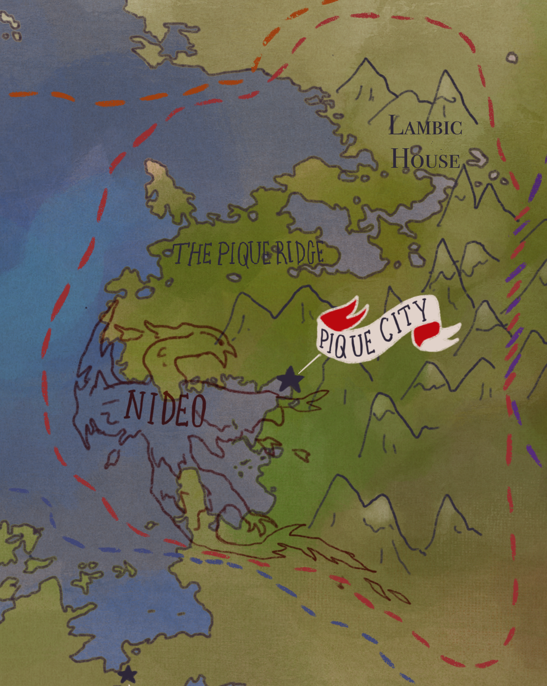
- Pique ridge.png 1,064 × 1,333; 2.46 MB
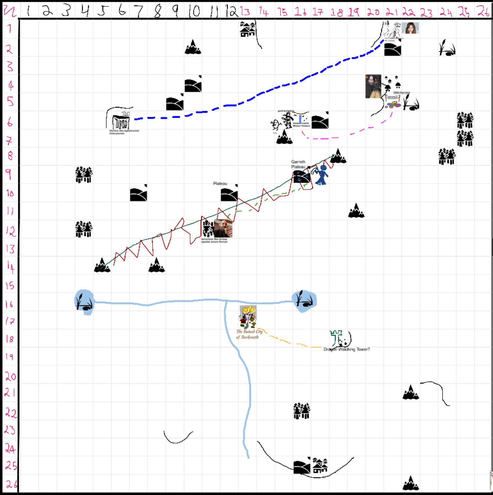
- PP03 Map.png 1,597 × 1,602; 380 KB
- PP05 Map.webp 1,707 × 1,709; 339 KB
- PP06 Map.webp 1,250 × 1,259; 278 KB
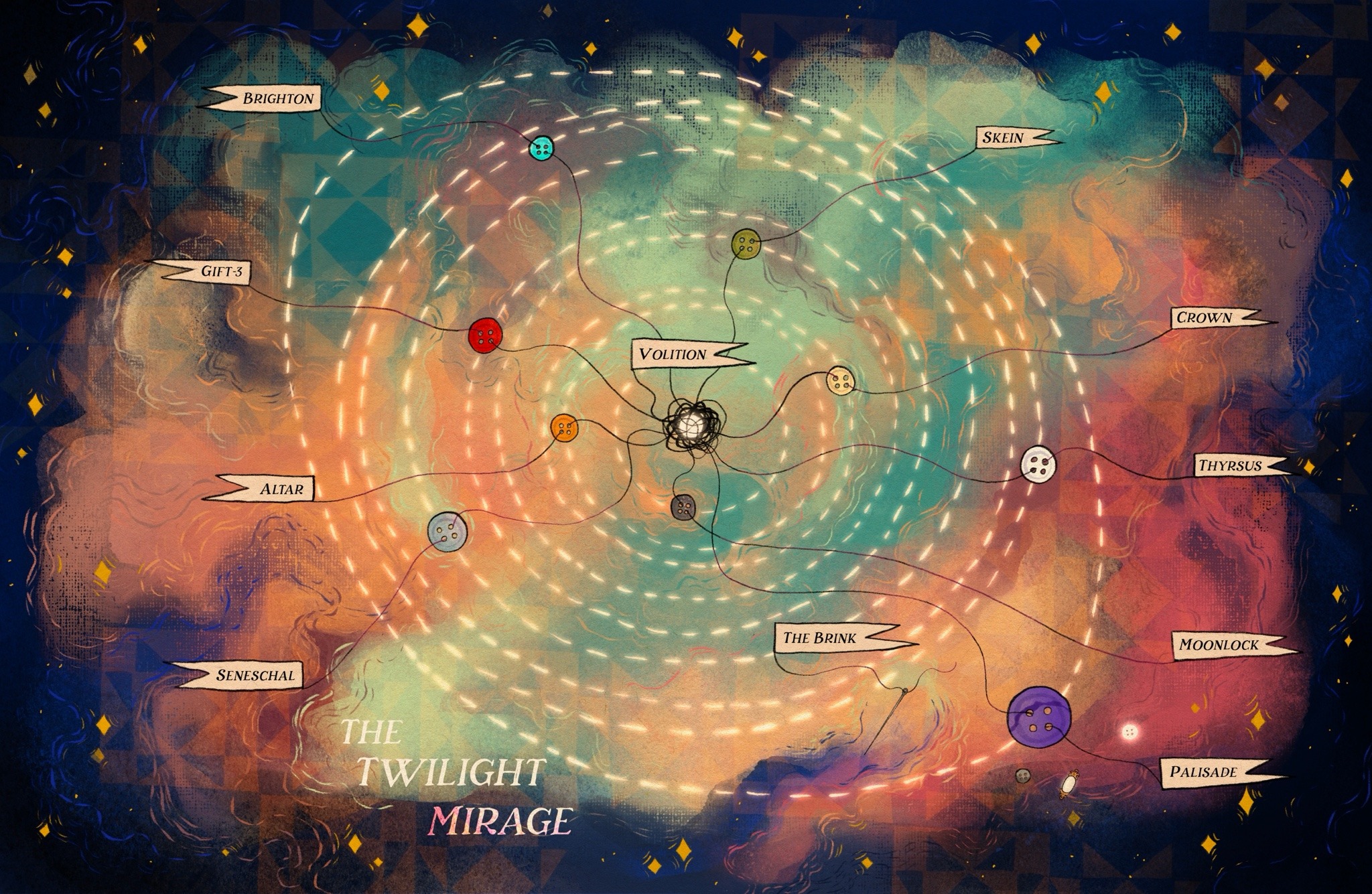
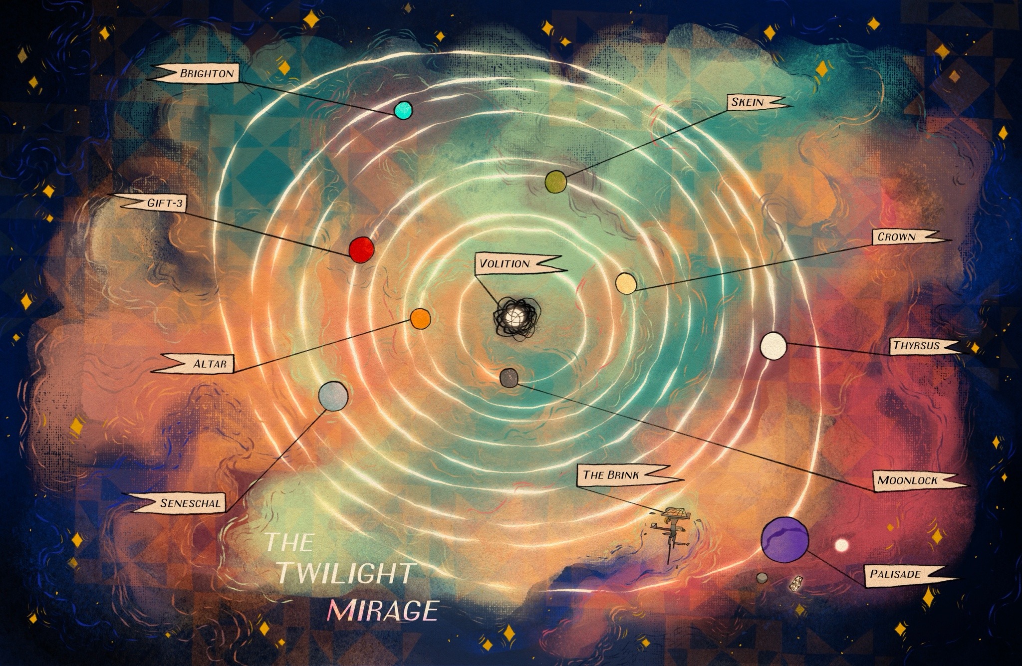
- Quire System map 1.jpg 2,048 × 1,335; 882 KB
- Quire System map 2.jpg 2,048 × 1,335; 884 KB
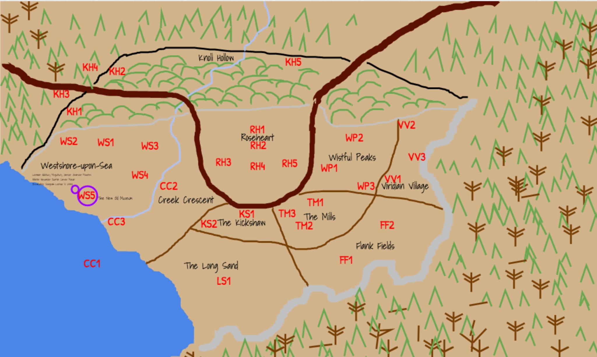
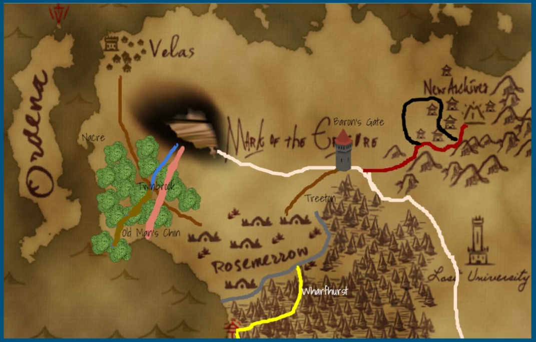
- Rosemerrowmap.jpg 2,048 × 1,226; 178 KB
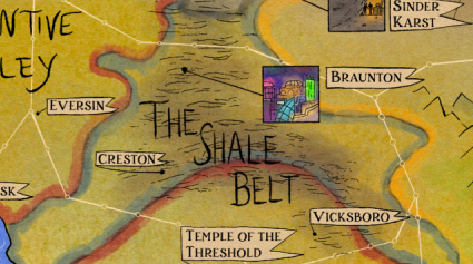
- Shale Belt on map of Palisade.png 425 × 237; 209 KB
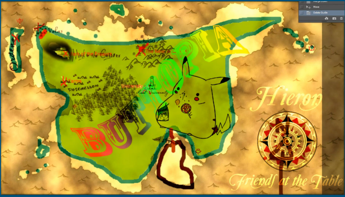
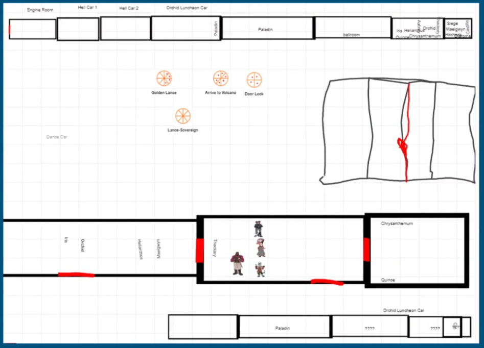
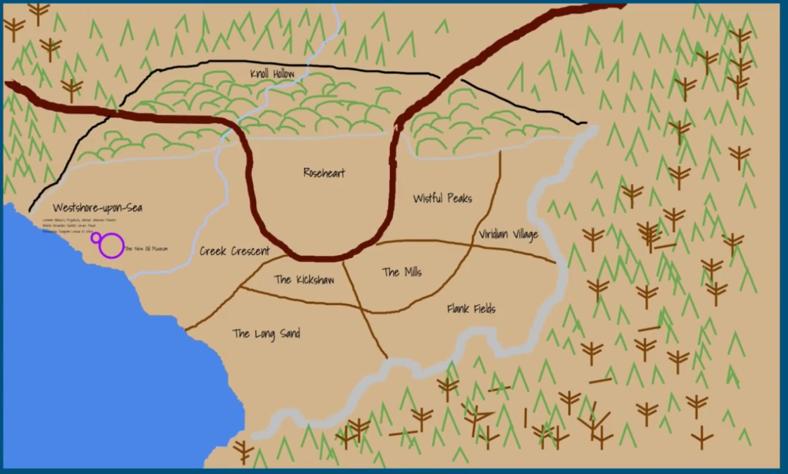
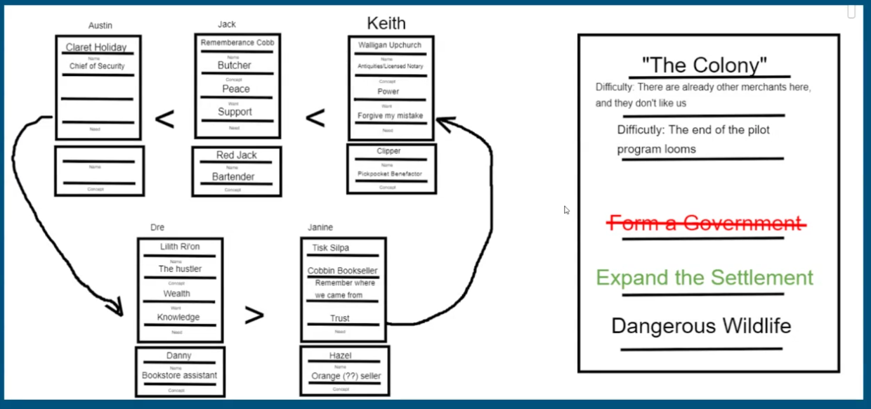
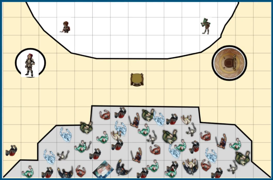
- SIH Stream Map 1.PNG 1,188 × 678; 1.85 MB
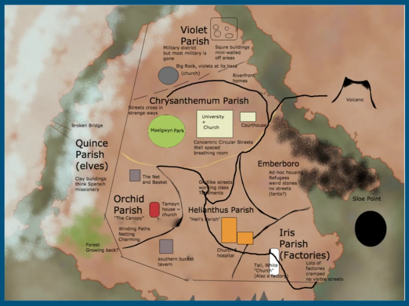
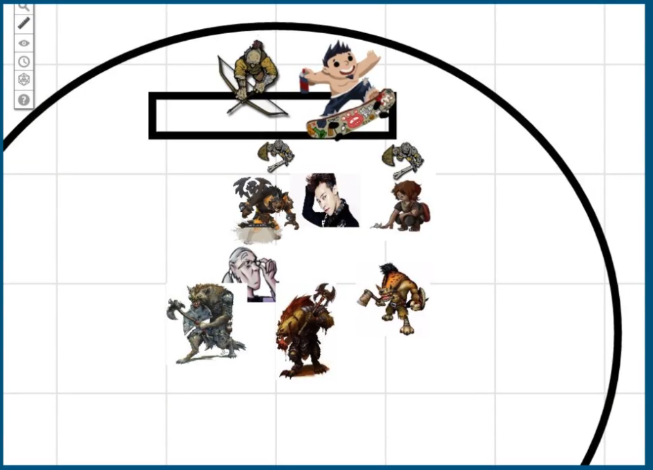
- SIH Stream Map 10.PNG 824 × 616; 822 KB
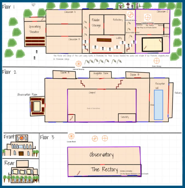
- SIH Stream Map 11.PNG 646 × 658; 469 KB
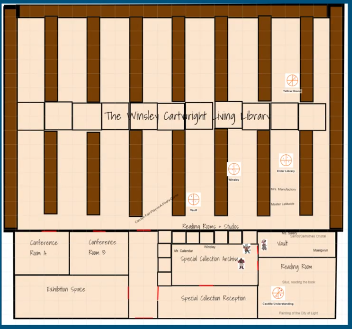
- SIH Stream Map 12.PNG 703 × 657; 397 KB
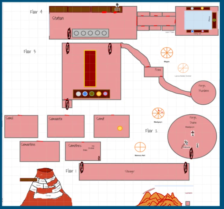
- SIH Stream Map 13.PNG 719 × 673; 385 KB
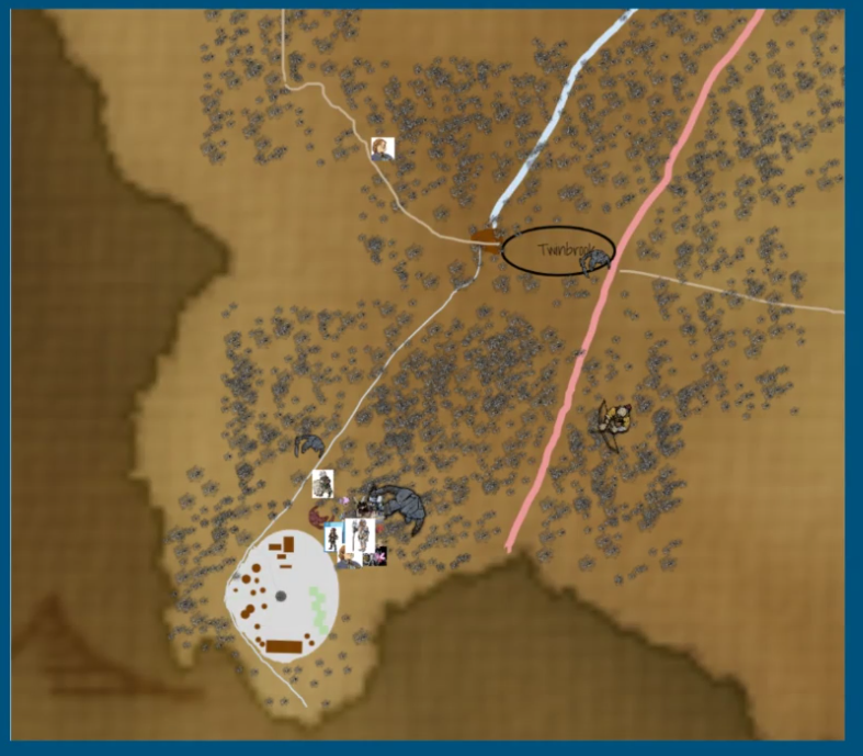
- SIH Stream Map 14.PNG 947 × 682; 256 KB
- SIH Stream Map 15.PNG 787 × 689; 912 KB
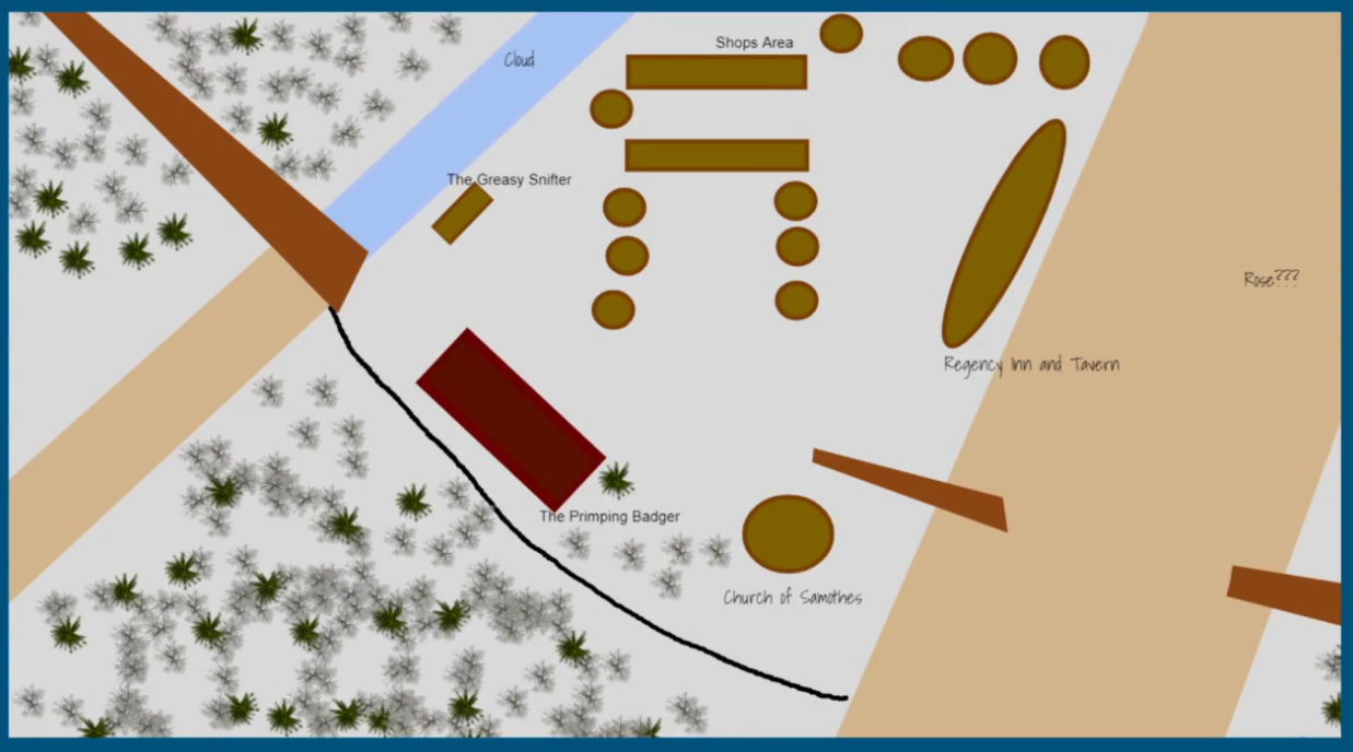
- SIH Stream Map 16.PNG 1,237 × 688; 714 KB
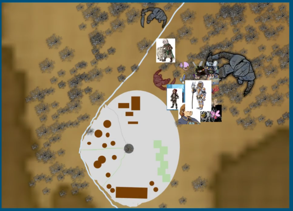
- SIH Stream Map 17.PNG 947 × 684; 994 KB
- SIH Stream Map 18.PNG 1,129 × 680; 927 KB
- SIH Stream Map 19.PNG 945 × 680; 352 KB
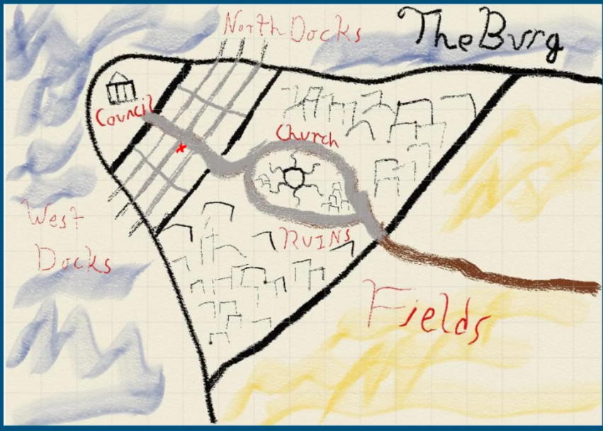
- SIH Stream Map 2.PNG 851 × 609; 1.01 MB
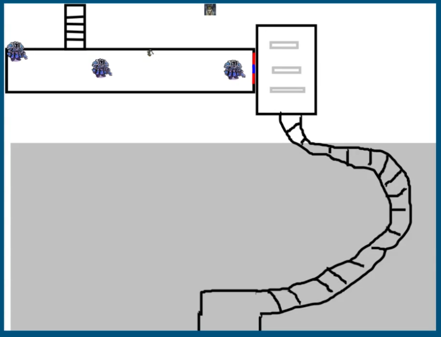
- SIH Stream Map 20.PNG 898 × 687; 99 KB
- SIH Stream Map 21.PNG 1,238 × 457; 213 KB
- SIH Stream Map 22.PNG 252 × 470; 20 KB
- SIH Stream Map 23.PNG 1,240 × 582; 234 KB
- SIH Stream Map 24.PNG 1,065 × 682; 228 KB
- SIH Stream Map 25.PNG 1,071 × 683; 1.39 MB
- SIH Stream Map 26.PNG 1,244 × 645; 941 KB
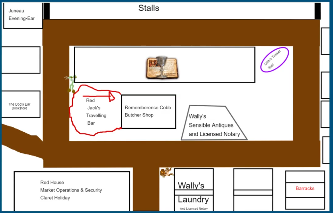
- SIH Stream Map 27.PNG 1,200 × 686; 153 KB
- SIH Stream Map 28.PNG 1,221 × 708; 1.24 MB
- SIH Stream Map 29.PNG 770 × 692; 509 KB
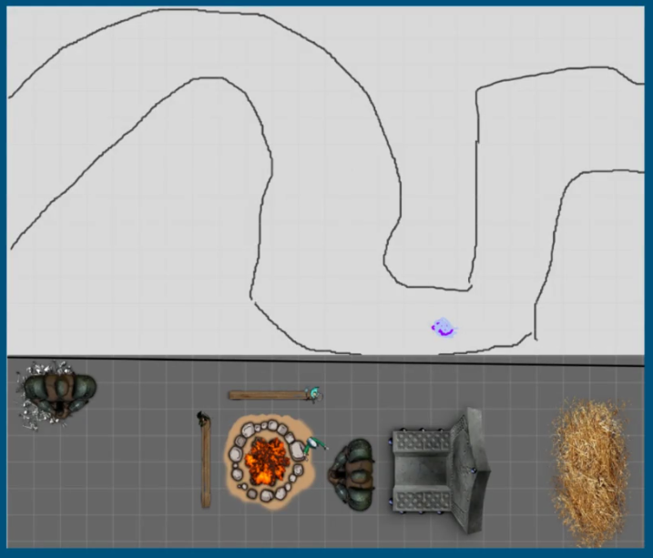
- SIH Stream Map 3.PNG 717 × 613; 262 KB
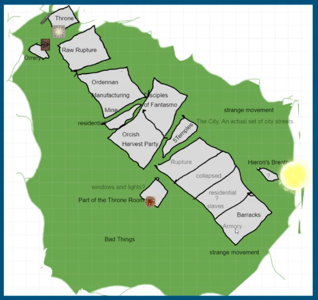
- SIH Stream Map 30.PNG 1,263 × 701; 552 KB
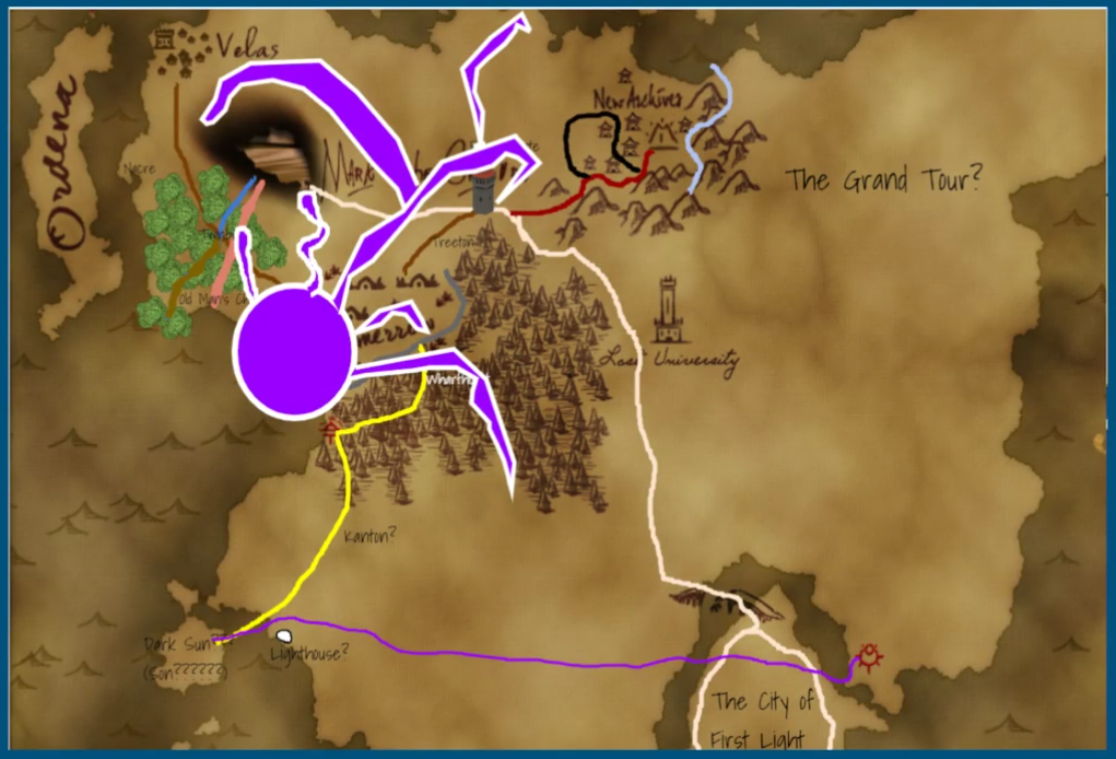
- SIH Stream Map 31.PNG 1,021 × 694; 1.2 MB
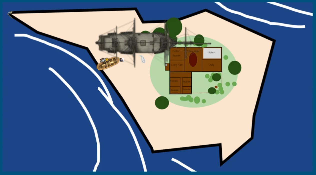
- SIH Stream Map 4.PNG 650 × 614; 369 KB
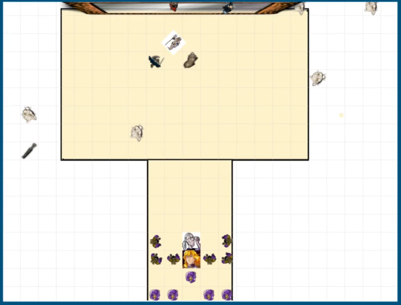
- SIH Stream Map 5.PNG 798 × 606; 218 KB
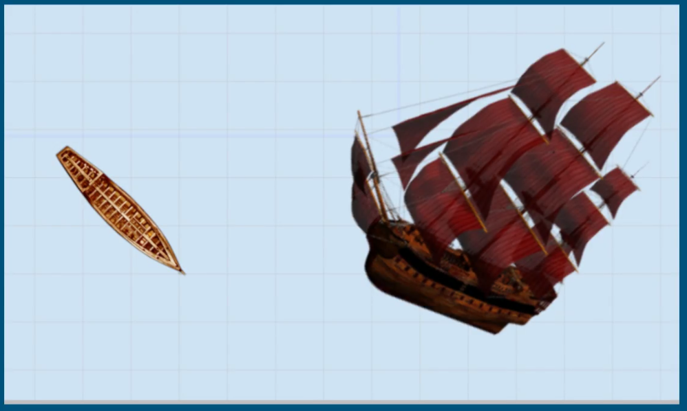
- SIH Stream Map 6.PNG 998 × 598; 458 KB
- SIH Stream Map 7.PNG 736 × 607; 464 KB
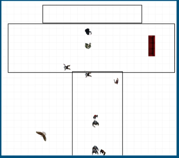
- SIH Stream Map 8.PNG 691 × 609; 122 KB
- SIH Stream Map 9.PNG 922 × 608; 498 KB
- The isles of logos icon.png 856 × 472; 829 KB
- The isles of logos.png 858 × 346; 495 KB
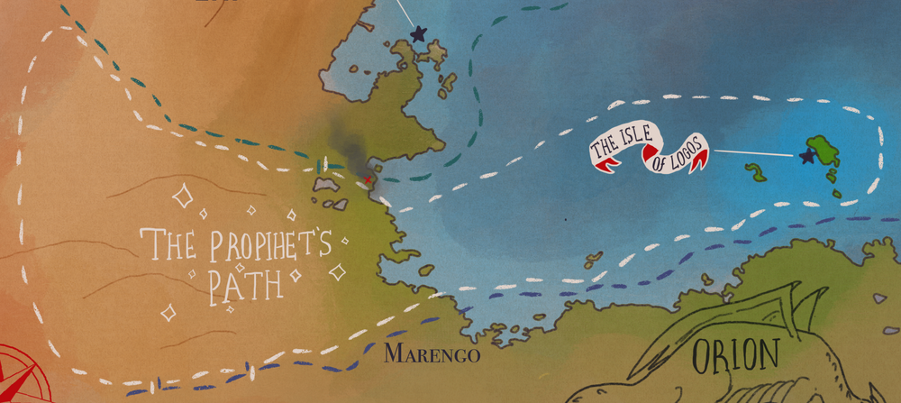
- The prophets path.png 1,000 × 447; 734 KB
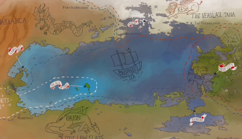
- The prophets sea.png 480 × 276; 239 KB
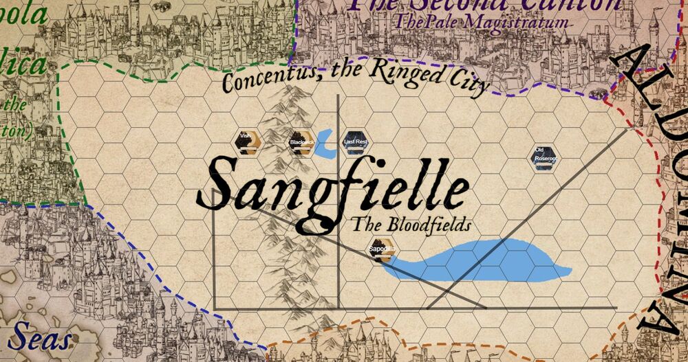
- The Shape & Sangfielle.jpg 1,000 × 527; 161 KB
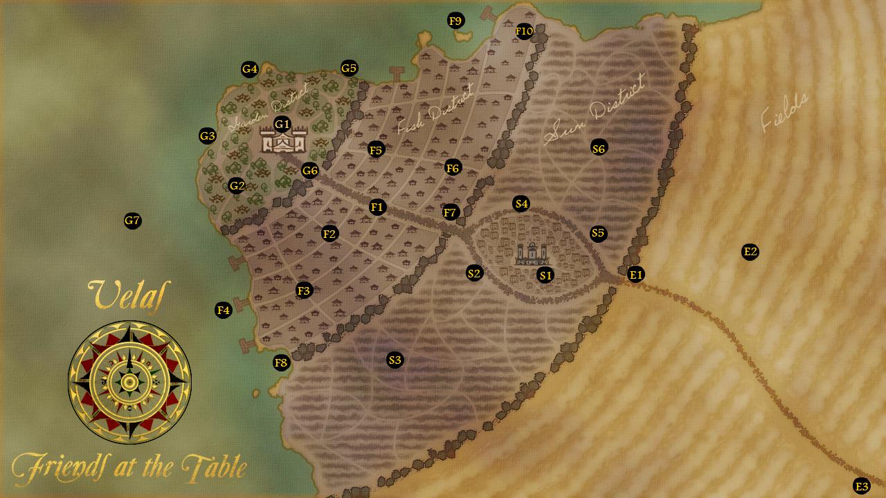
- Velas.jpg 1,280 × 720; 135 KB
- Verglaz taiga.png 2,843 × 1,114; 5.54 MB
- Vigil City icon.png 1,048 × 524; 977 KB
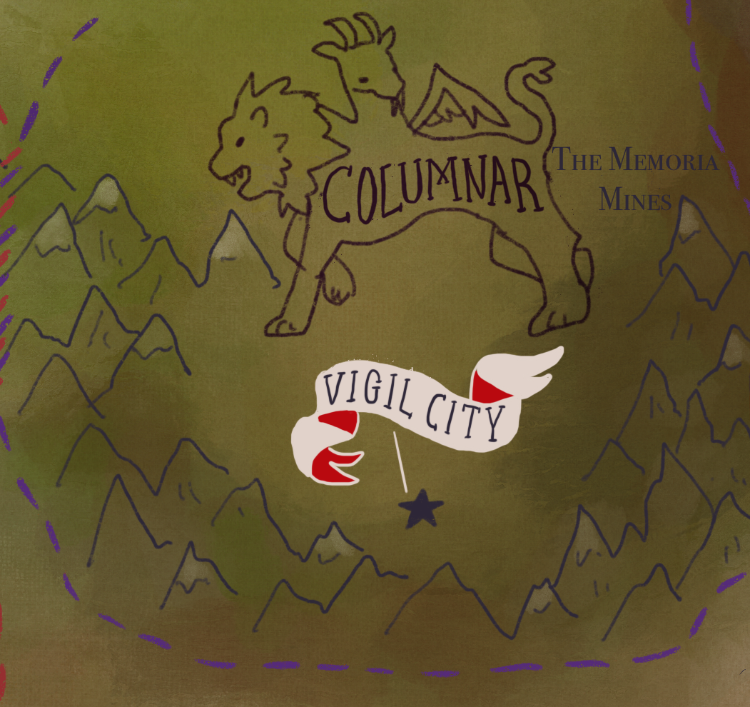
- Vigil City.png 1,051 × 990; 1.6 MB
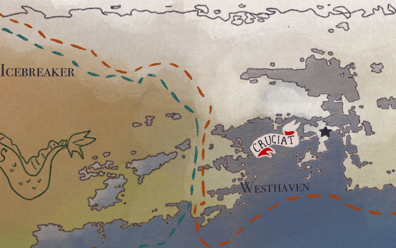
- Westhaven.png 1,359 × 852; 2.04 MB

