No higher resolution available.
Shale_Belt_on_map_of_Palisade.png (425 × 237 pixels, file size: 209 KB, MIME type: image/png)
Summary[edit | edit source]
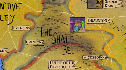
The Shale Belt on Annie Johnston-Glick's official map of Palisade.
File history
Click on a date/time to view the file as it appeared at that time.
| Date/Time | Thumbnail | Dimensions | User | Comment | |
|---|---|---|---|---|---|
| current | 19:06, 26 January 2024 | | 425 × 237 (209 KB) | Rigormorphis (talk | contribs) | The Shale Belt on [https://www.anniejg.com Annie Johnston-Glick]'s official map of Palisade.Category:Maps |
You cannot overwrite this file.
File usage
The following 2 pages use this file: